
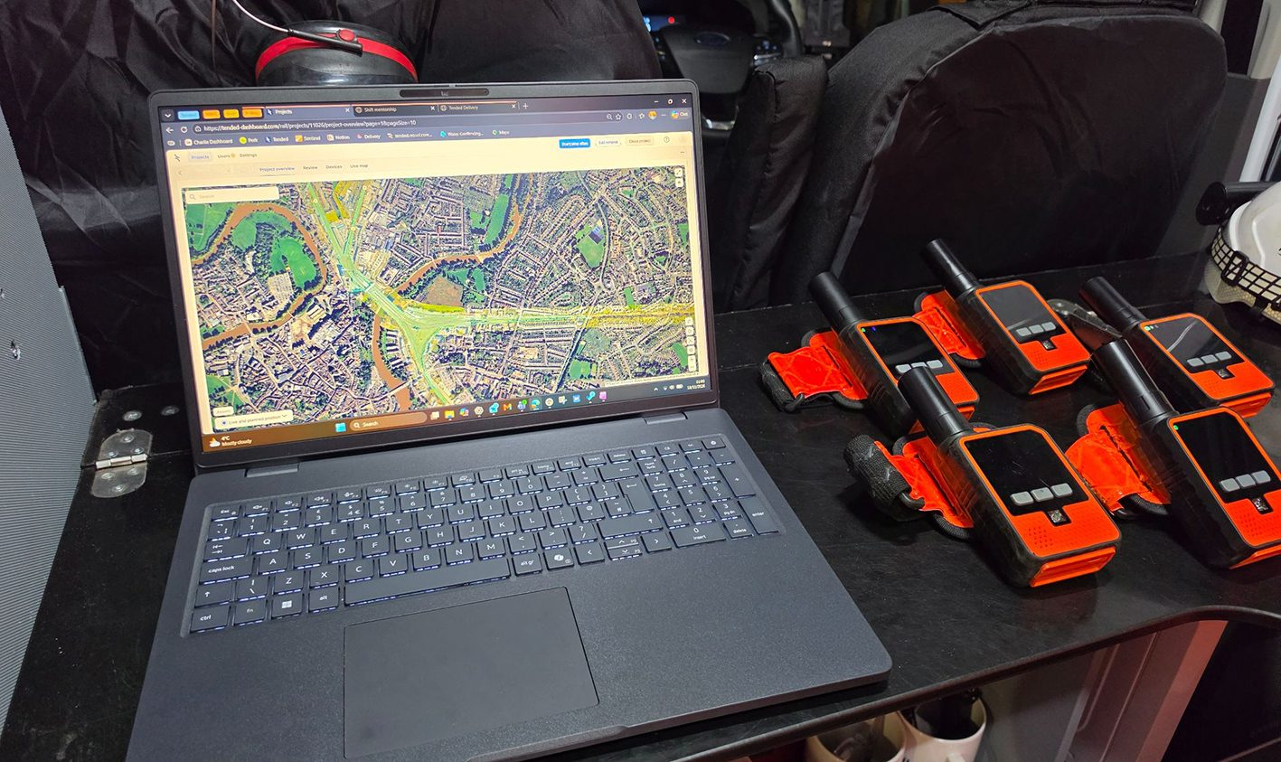
From precise planning to onsite alerting
Geofencing provides the foundation for safer operations, supporting efficiency and better decision making.
The technology behind the system
Tended combines global navigation satellite system (GNSS) data with fixed real-time kinematic (RTK) base station receivers to deliver incredible positioning accuracy. This corrects the errors typically found in GPS-only systems.
We use multi-carrier connectivity to maintain that correctional data even in remote or built-up areas, and combine it with a comprehensive database of satellite imagery to give you the most accurate picture possible when planning work areas and supporting onsite works.
How it works
- 1Step 1
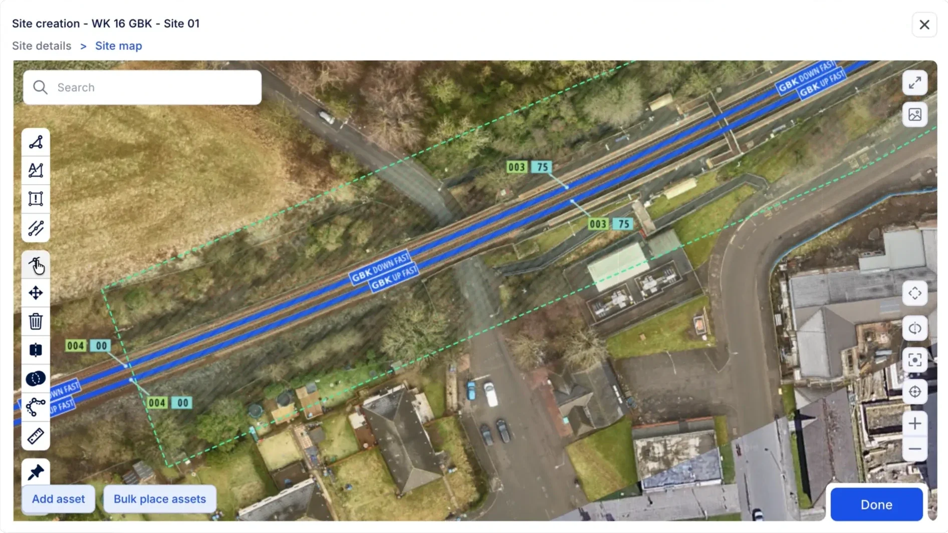
Create custom geofences
Map out precise geofences of any size and shape on high resolution aerial imagery. Define safe zones, authorised access points, equipment and asset locations and more.
- 2Step 2
Assign devices
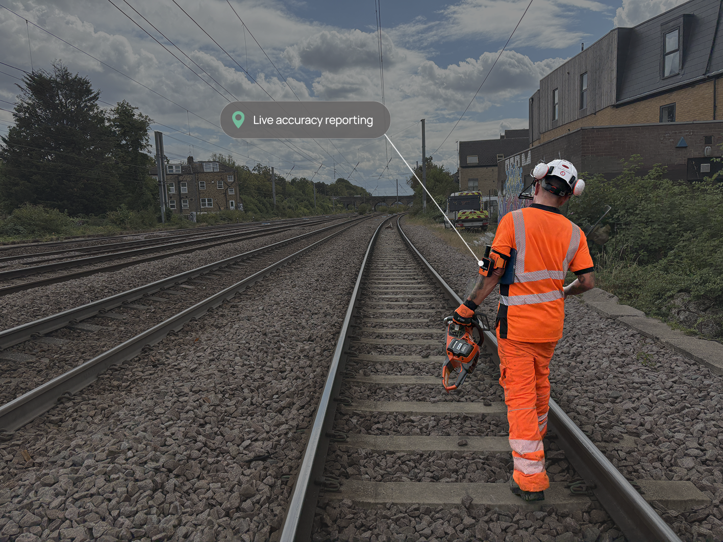
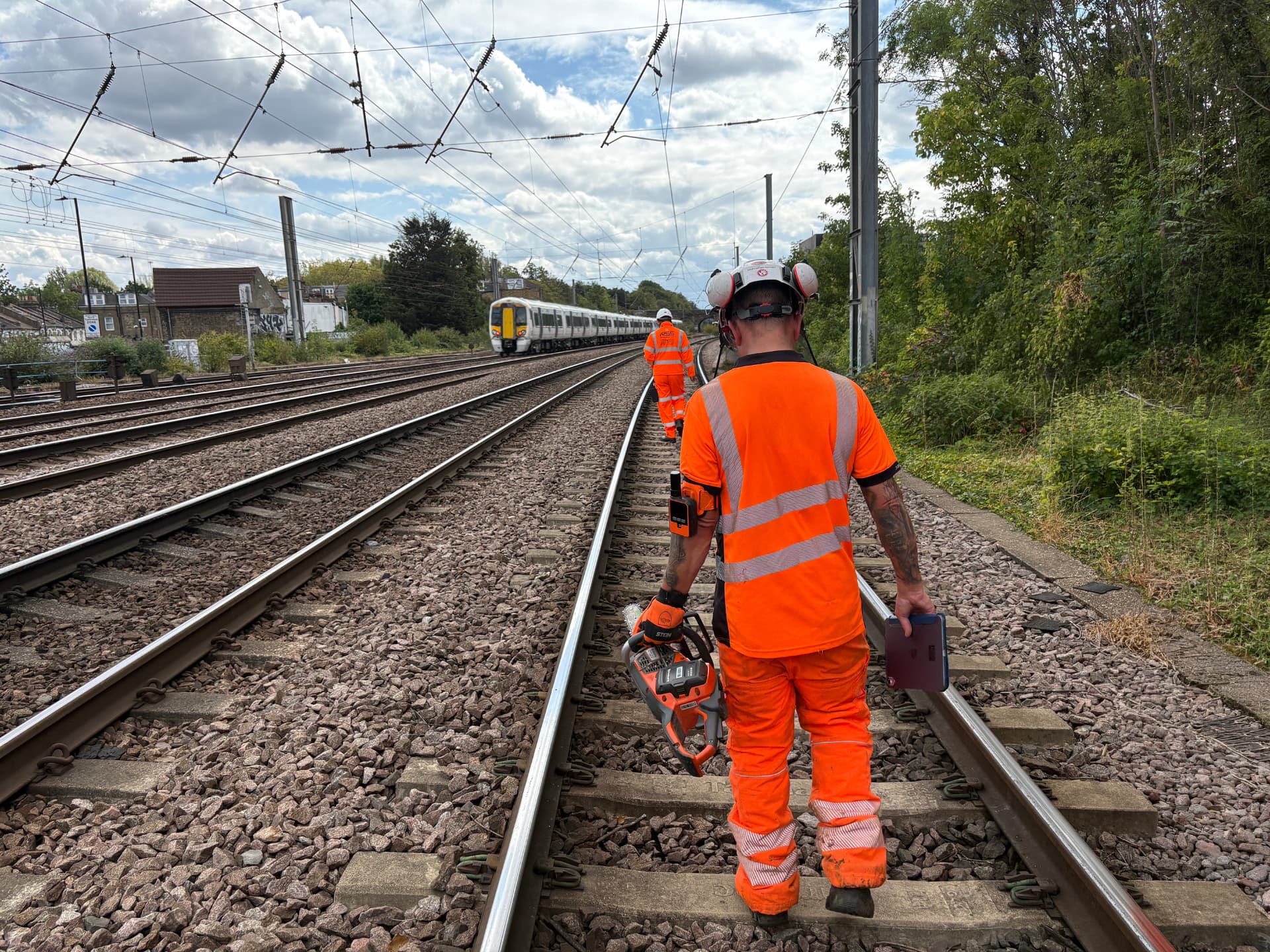
PeopleWorkers simply attach a device to their PPE and they're ready to go. Devices are updated automatically and in real-time so your teams are always up to date with any changes to their work zones.
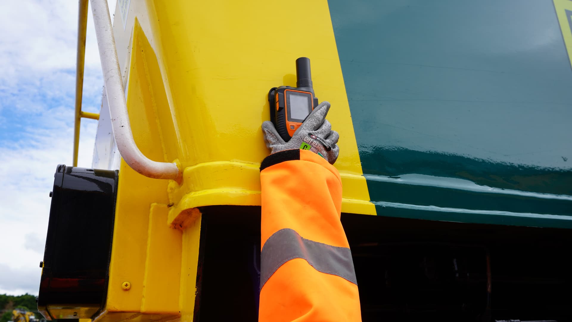
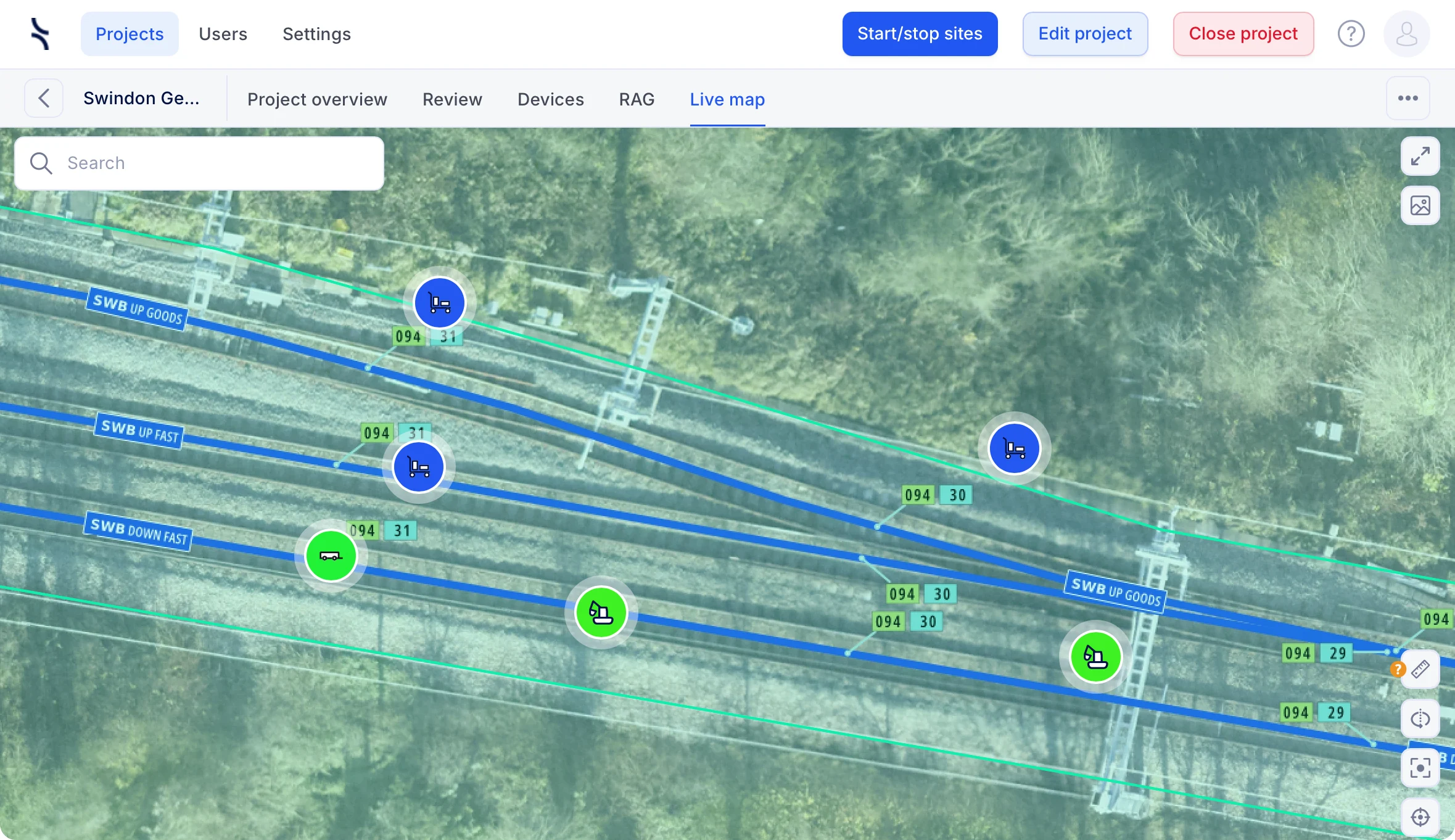
AssetsOnce devices are linked to their safe areas, they can be attached to onsite assets, such as vehicles, machinery and static equipment. View their live location and check that nothing gets left behind.
- 3Step 3
Get enhanced visibility
Tended's Dashboard provides a live view of assets and their movements. This helps your team identify and mitigate risk, improving the safety and efficiency of your operations.
Devices worn by people and set to wearable mode in the Dashboard are not trackable to maintain user privacy.
- 4Step 4
Alert and respond
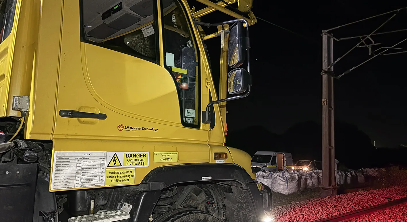
Audible and visual alerts notify workers if they cross a geofence boundary. With real-time alerts and on-screen context, individuals are instantly notified of their position, helping them regain situational awareness so they can move back to safety.
Supporting the way people work
It's simply not possible to be 100% alert all of the time. The brain takes short mental breaks throughout the day without us knowing, and factors like complex worksites, poor visibility and fatigue can all lead to poor decision making. Tended's technology helps bridge that gap between human vulnerability and safety, providing alerts that help individuals regain situational awareness and stay within safe work limits.
Proven in rail
Developed and refined over 700+ deployments and hundreds of thousands of hours of real-world use, our technology is built for high-risk environments. We work closely with infrastructure managers like Network Rail to ensure our system meets rigorous safety standards.
 Product acceptance certification for use on Network Rail managed infrastructure.
Frequently asked questions
Ready to get started?
Join leading organisations using Tended to transform operational safety and efficiency.