
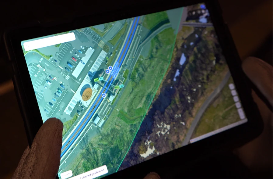
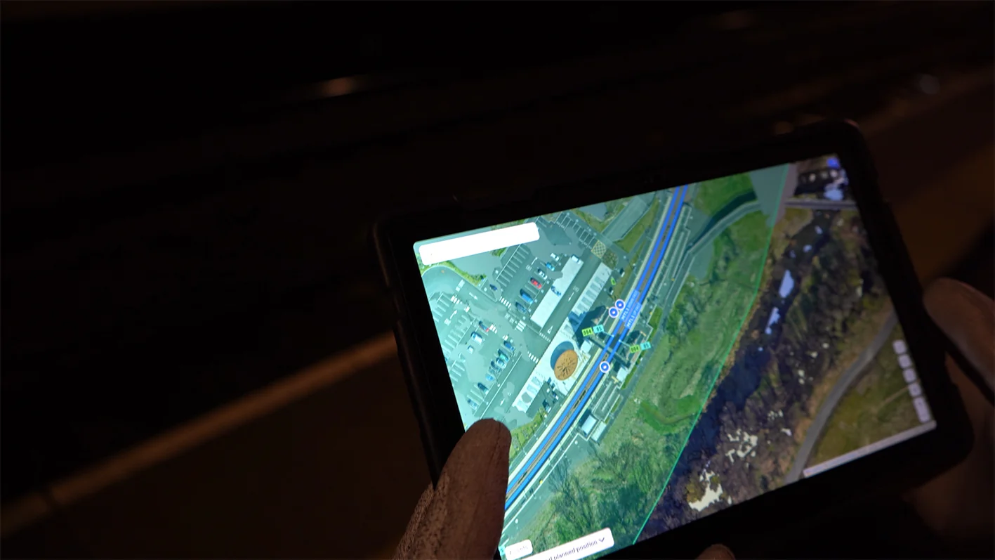
The all-in-one geofencing platform to manage your projects
Tended’s Dashboard puts your whole worksite in one place, so planners, supervisors and teams are all working from the same plan.
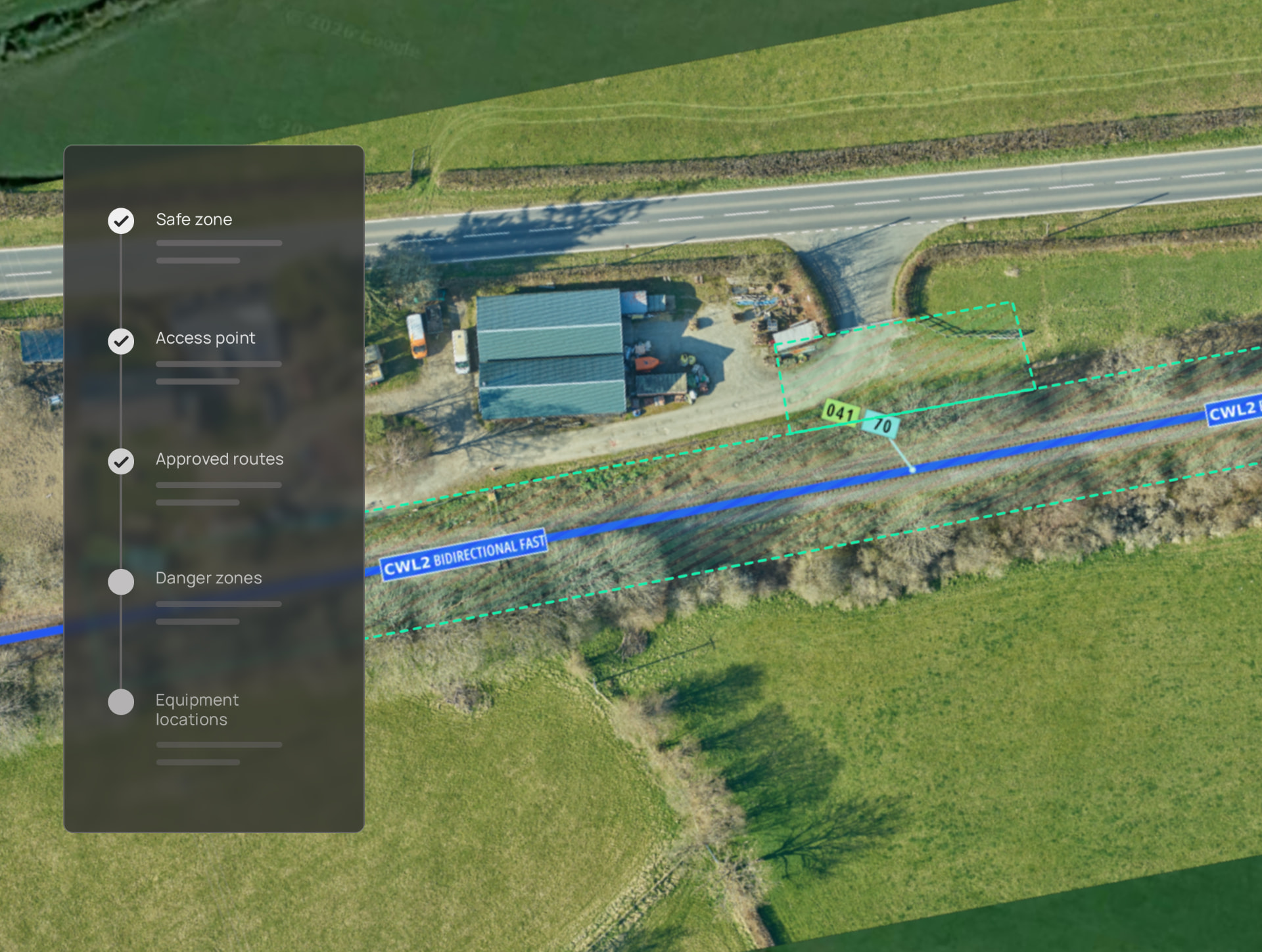
Map your work areas exactly as planned
Put an end to confusion around the location of access points and safe work areas. Easily create virtual safe, warning or danger zones, define access points and walking routes, plot the location of protection equipment and more to provide real-world context to your teams.
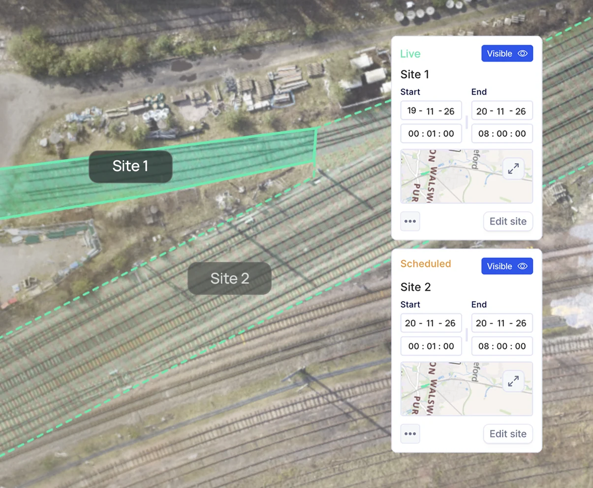
Create sites that change by time and event
Set a time and date for your work zones to suit work schedules. Once a geofence zone is stopped, alerts notify your teams to move to a position of safety, helping them stay out of harm's way when hazardous activities are scheduled on site.
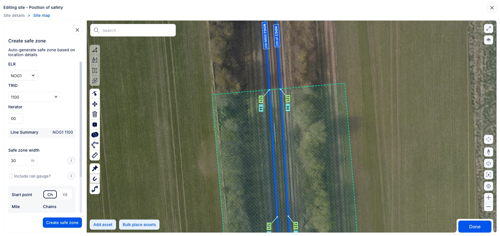
Effortless geofencing mapping with Geo-gen
Input a few details from your project plan into the Dashboard and Tended's system will automatically create a geofence to the specified size and location.
Keep track of critical assets
View the live location and movements of any asset fitted with a Tended positioning device. Check that everything is in the right location and accounted for after works have finished.
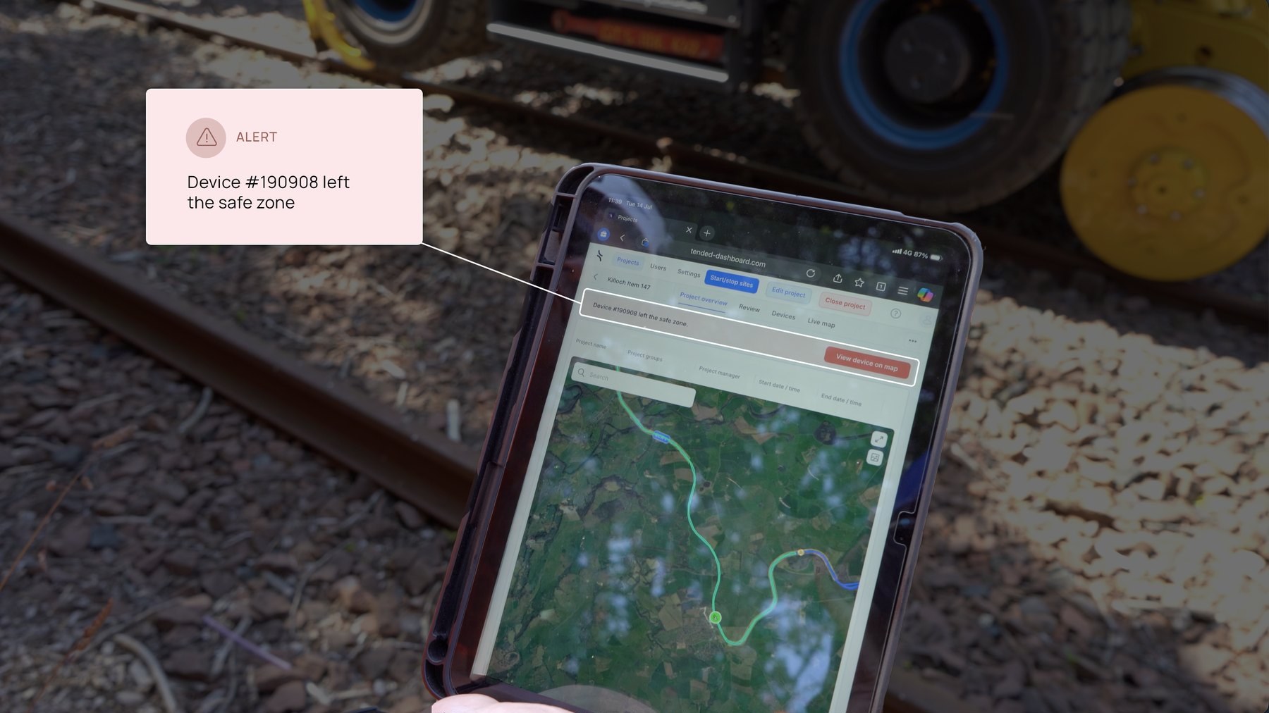
Identify unsafe events with Dashboard notifications
Alerts on the Dashboard highlight potential risks such as vehicles leaving the safe zone or entering an exclusion zone. Early detection allows them to be addressed before they escalate.
Every detail, covered
Configure geofences to a set distance from hazards to improve site safety.
Allocate unique IDs to assets to easily identify them on the Dashboard.
View the planned versus live location of protection equipment.
Easily identify potential risks with colour-coded alerts.
Create warning zones around specific hazards to allow for vehicle stopping distance.
Plan accurate zones for your work areas using HD imagery.
Ready to get started?
Join leading organisations using Tended to transform operational safety and efficiency.